- Home
-
A&L Services
Loading...Loading data...Loading...
- News
- Payment
- Reference & Tools
- About
- Contact
- Workshops
- Quick links
A&L Canada Laboratories Inc.
 Soil Stewardship Group
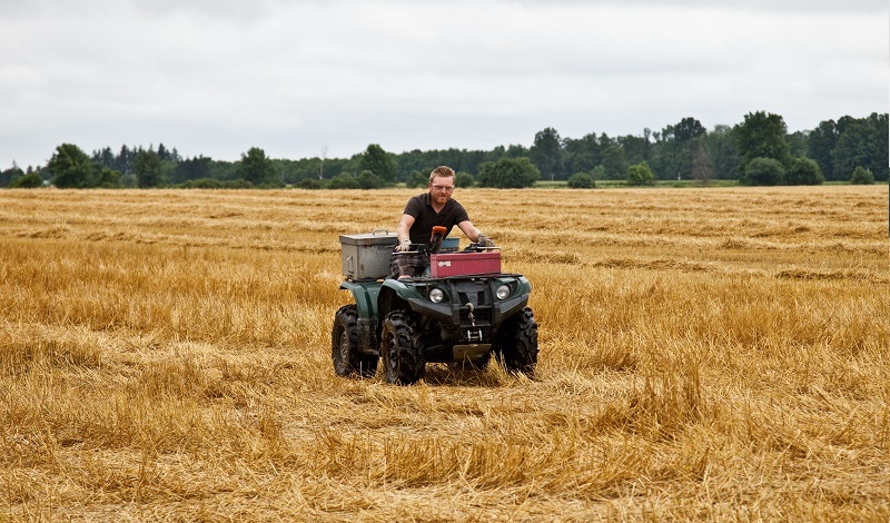
The Soil Stewardship Group has been offering leading edge soil sampling and technical services to growers and dealerships across Canada for over 15 years. With the latest GPS and mapping software our staff can sample your field the way you want, and give you a visual representation of your field that easy to understand and can help to identify problem areas. GPS soil sampling, incorporated into your management strategy, has proven to help growers save money and improve crop performance/consistency.
SSG has a wide variety of GPS soil sampling packages to suit your needs. Whether you need a general idea of field conditions, or a comprehensive analysis of your entire field with a variable rate fertilizer prescription, we have a service for you.
GPS Information
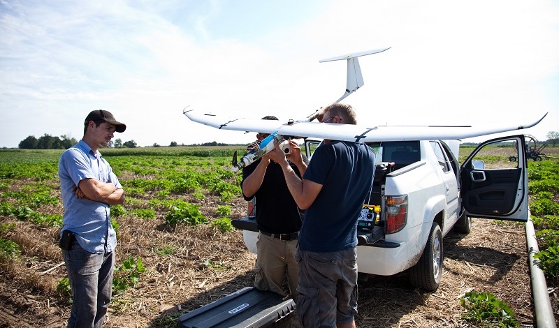
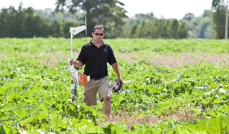
To meet the increasing demand for precision ag services, A&L Canada maintains a full service GIS/geo-processing center. Utilizing state of the art data collection and mapping software, A&L Canada possesses the ability to collect in-field information necessary to generate geo-referenced field boundary, sampling point, nutrient, and elevation maps. Also, in this era of nutrient management, the precise location of sensitive water features, hickenbottoms, wells, slopes and grassed buffer strips can be identify ed and documented. Yield monitor harvest data can be processed and management zones determined via the resulting information and/or remote sensed data. These management zones or information obtained from site-specific sampling procedures enable variable rate prescriptions to be written for the precise application of lime and other nutrients.


Events
No available event...
Notice